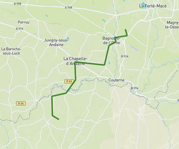
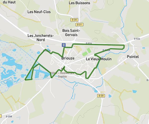
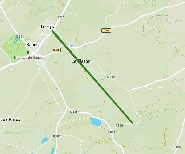
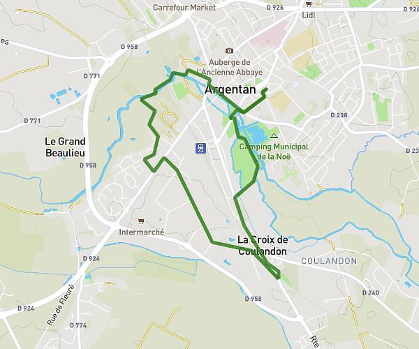
This running route covers 4.471mi starting from Rânes, Orne. The run is a loop trail and returns to the trailhead. This run is rated as easy, expect about 47m58s to complete it. The route has an elevation gain of 230ft and an elevation loss of 220ft.
Jeanne
Route details
5.59mph
Speed
548 kcal
Calories burned
Loop trail
Route type
735ft
Min altitude
846ft
Max altitude
Route profile
230ft
Elevation gain
220ft
Elevation loss
735ft
Min altitude
846ft
Max altitude
How to get there
Trailhead: 58 Rue De La Fée D'argouges, 61150 Rânes, France
GPS coordinates of the trailhead: 48.644511, -0.205241 / 48°38'40'' N, 0°12'18'' W