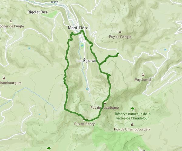
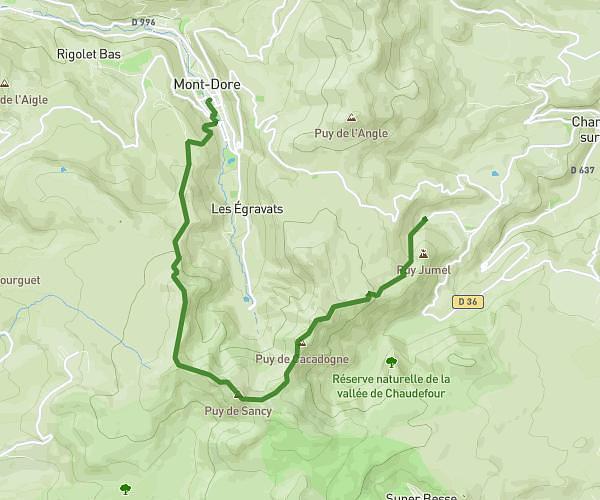
This hiking trail covers 8.0mi starting from Avèze, Puy-de-Dôme. The hike is a loop trail and returns to the trailhead. This hike is rated as moderate, plan for about 2h47m to complete it. The route has an elevation gain of 899ft and an elevation loss of 899ft.
Flessanges Chazelle fanostre
Route details
2.88mph
Speed
1210 kcal
Calories burned
4.3%
Avg grade
Loop trail
Route type
2703ft
Min altitude
3064ft
Max altitude
Route profile
899ft
Elevation gain
899ft
Elevation loss
2703ft
Min altitude
3064ft
Max altitude
How to get there
Trailhead: Chemin De Vinlhat Bas, 63690 Avèze, France
GPS coordinates of the trailhead: 45.59384, 2.62859 / 45°35'37'' N, 2°37'42'' E