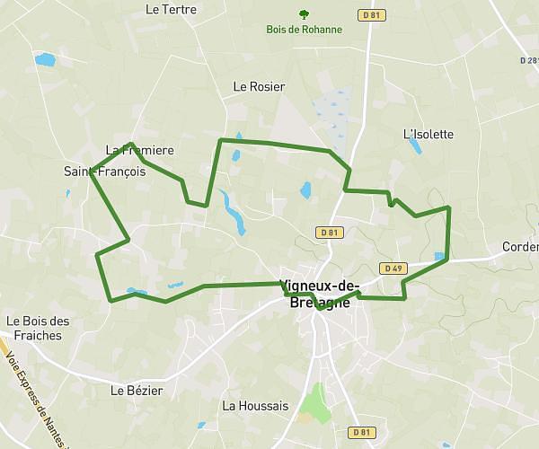
This running route covers 7.797mi starting from Donges, Loire-Atlantique. The run is a loop trail and returns to the trailhead. This run is rated as hard, expect about 1h24m to complete it. The route has an elevation gain of 3ft and an elevation loss of 10ft.
Boucle Er-Besné
Route details
5.57mph
Speed
960 kcal
Calories burned
Loop trail
Route type
7ft
Min altitude
13ft
Max altitude
Route profile
3ft
Elevation gain
10ft
Elevation loss
7ft
Min altitude
13ft
Max altitude
How to get there
Trailhead: 508 Chemin De La Sauzète, 44480 Donges, France
GPS coordinates of the trailhead: 47.38058, -2.10355 / 47°22'50'' N, 2°6'12'' W