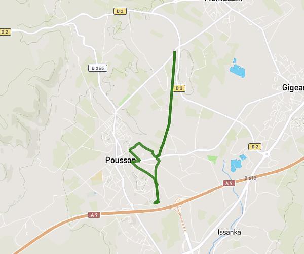
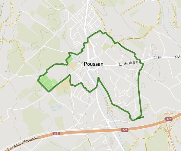
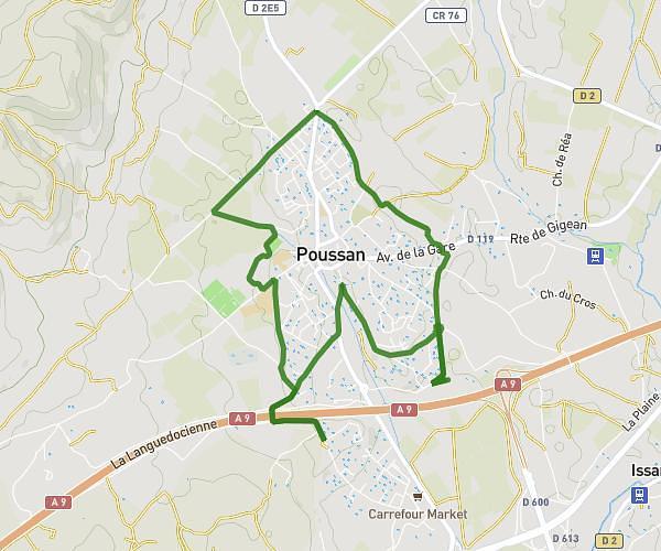
This running route covers 7.236mi starting from Ceyras, Hérault. The run is a loop trail and returns to the trailhead. This run is rated as moderate, expect about 1h30m to complete it. The route has an elevation gain of 367ft and an elevation loss of 371ft.
Jerome1
Route details
4.82mph
Speed
1029 kcal
Calories burned
Loop trail
Route type
157ft
Min altitude
269ft
Max altitude
Route profile
367ft
Elevation gain
371ft
Elevation loss
157ft
Min altitude
269ft
Max altitude
How to get there
Trailhead: 1a Allée Des Oliviers, 34800 Ceyras, France
GPS coordinates of the trailhead: 43.6471, 3.45572 / 43°38'49'' N, 3°27'20'' E