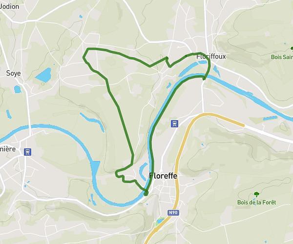
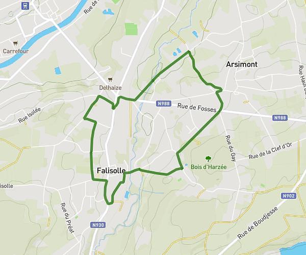
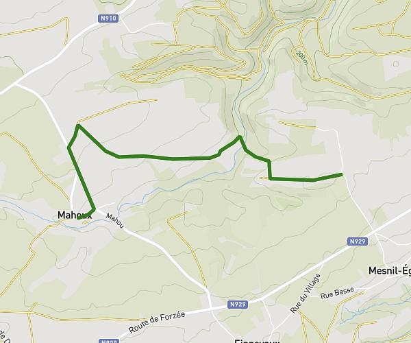
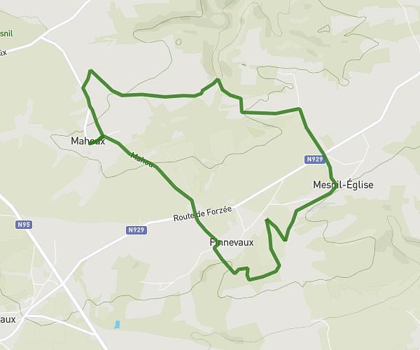
This walking route covers 6.39mi starting from Namur, Namur. The walk is a loop trail and returns to the trailhead. This walk is rated as hard, plan for about 2h17m to complete it. The route has an elevation gain of 1079ft and an elevation loss of 1083ft.
Le sentier des bêbêtes
Route details
21:27/mi
Pace
559 kcal
Calories burned
Loop trail
Route type
266ft
Min altitude
817ft
Max altitude
Route profile
1079ft
Elevation gain
1083ft
Elevation loss
266ft
Min altitude
817ft
Max altitude
How to get there
Trailhead: Rue Du Rivage, 5100 Namur
GPS coordinates of the trailhead: 50.41492, 4.88497 / 50°24'53'' N, 4°53'5'' E