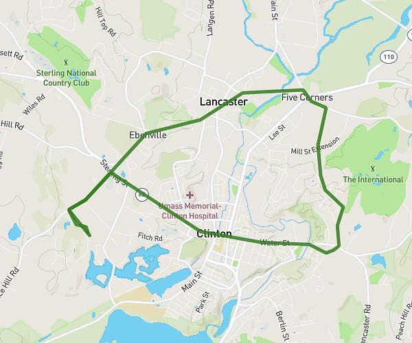
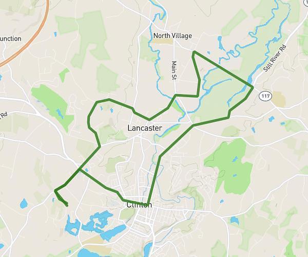
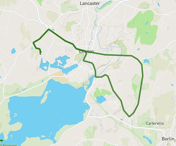
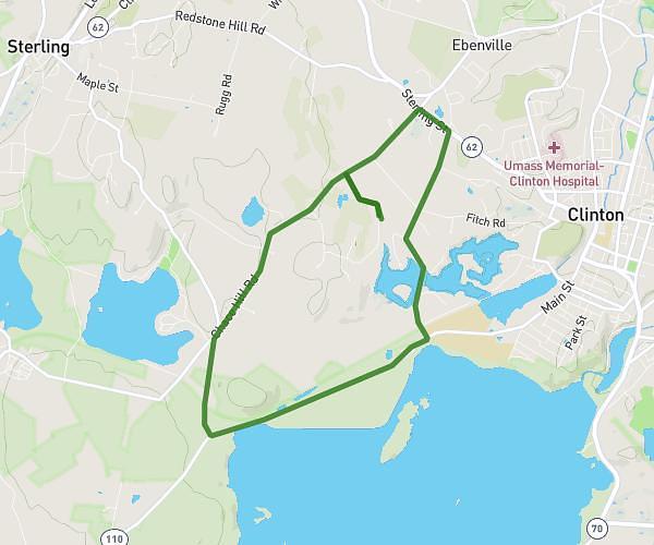
This cycling route covers 11.922mi starting from Sharon, Massachusetts. The ride is a loop trail and returns to the trailhead. This route is rated as easy, plan for about 1h12m to complete it. The route has an elevation gain of 36ft and an elevation loss of 49ft.
Long lake
Route details
631 kcal
Calories burned
0.1%
Avg grade
Loop trail
Route type
262ft
Min altitude
289ft
Max altitude
Route profile
36ft
Elevation gain
49ft
Elevation loss
262ft
Min altitude
289ft
Max altitude
How to get there
Trailhead: 24 Canoe River Road, Sharon, Massachusetts 02067, United States
GPS coordinates of the trailhead: 42.08348, -71.18602 / 42°5'0'' N, 71°11'9'' W