MapPlanner
4.697mi
Distance
45m
Duration
9:35/mi
Pace
Easy
Level

Max- Entrainement 15Km- 2025

Route details

6.26mph
Speed
515 kcal
Calories burned
Point to point
Route type
1959ft
Min altitude
2060ft
Max altitude

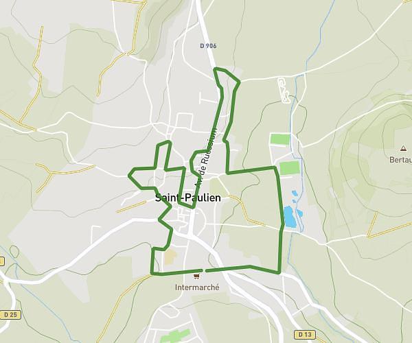
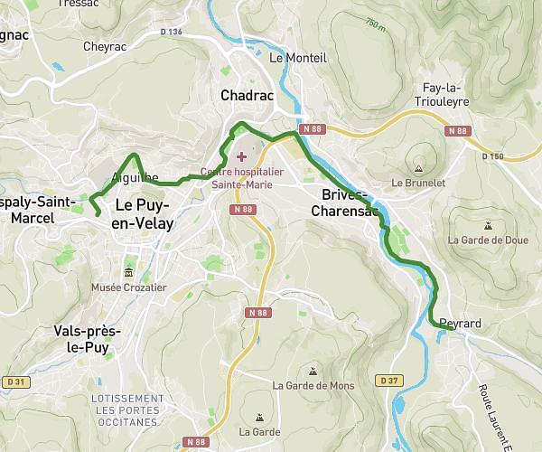
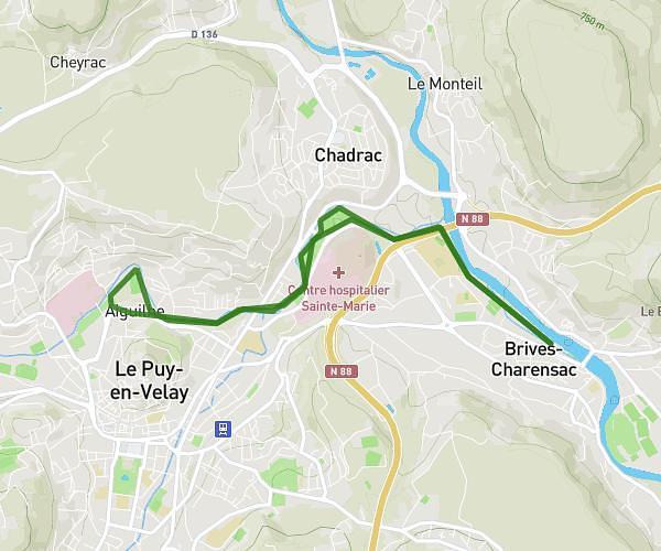
This running route covers 4.697mi starting from Le Puy-en-Velay, Haute-Loire. The run does not return to the trailhead and ends near Avenue Des Sports, 43700 Brives-Charensac. This run is rated as easy, expect about 45m to complete it. The route has an elevation gain of 174ft and an elevation loss of 246ft.

Description of the route by the creator

Along the Borne and Loire rivers

(Description automatically translated)

Route profile

174ft
Elevation gain
246ft
Elevation loss
1959ft
Min altitude
2060ft
Max altitude

How to get there

Trailhead: Rue Duguesclin, 43000 Le Puy-en-Velay

GPS coordinates of the trailhead: 45.04585, 3.87746 / 45°2'45'' N, 3°52'38'' E

Caution: May Cross Private Property

This route may pass through or near private property. Always respect posted signs, obtain permission where required, and follow local trespassing laws. MapPlanner does not guarantee public access along any route.

Safety Notice

Trail and road conditions may change without notice due to weather, construction, or other factors. Always verify current conditions before heading out. You are responsible for your own safety — follow local signage, obey traffic laws, and use your best judgment on the trail.