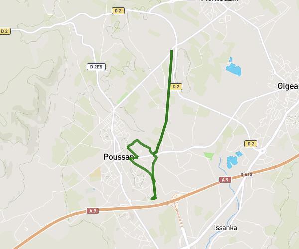
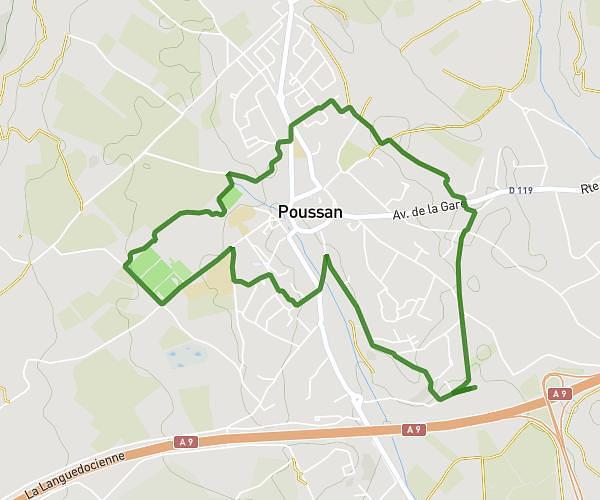
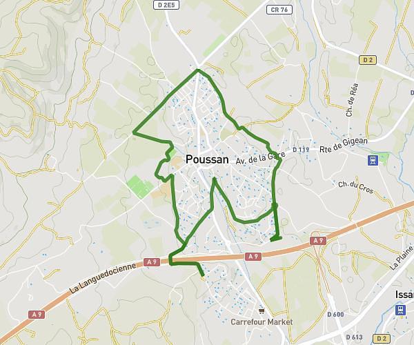
This running route covers 4.87mi starting from Marseillan, Hérault. The run is a loop trail and returns to the trailhead. This run is rated as easy, expect about 46m36s to complete it. The route has an elevation gain of 23ft and an elevation loss of 39ft.
8km Marseillan gendarmerie
Route details
6.27mph
Speed
533 kcal
Calories burned
Loop trail
Route type
3ft
Min altitude
39ft
Max altitude
Route profile
23ft
Elevation gain
39ft
Elevation loss
3ft
Min altitude
39ft
Max altitude
How to get there
Trailhead: 5 Rue Claude Monet, 34340 Marseillan, France
GPS coordinates of the trailhead: 43.35466, 3.52517 / 43°21'16'' N, 3°31'30'' E