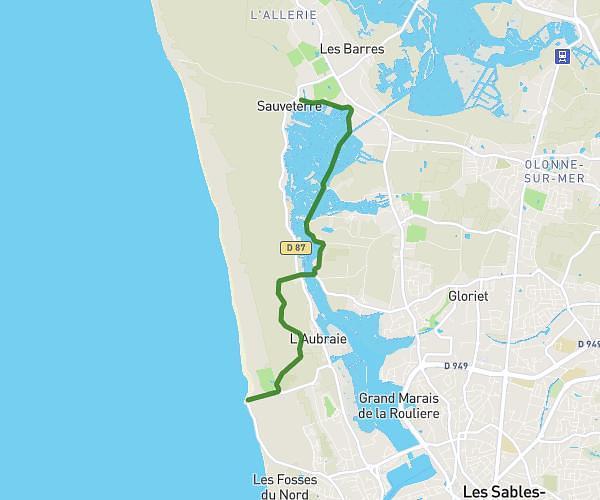
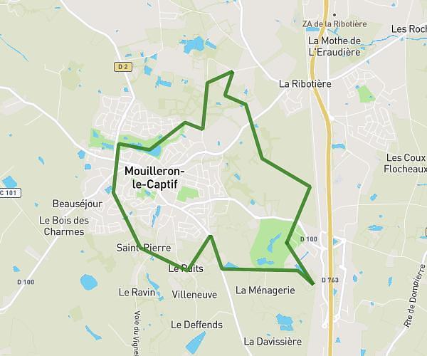
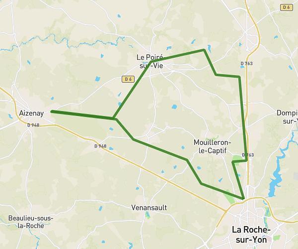
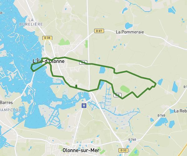
This hiking trail covers 12.629mi starting from La Chapelle-Hermier, Vendée. The hike is a loop trail and returns to the trailhead. This hike is rated as moderate, plan for about 3h23m to complete it. The route has an elevation gain of 531ft and an elevation loss of 538ft.
Rando 10/11/2023
Route details
3.73mph
Speed
1442 kcal
Calories burned
1.6%
Avg grade
Loop trail
Route type
36ft
Min altitude
197ft
Max altitude
Route profile
531ft
Elevation gain
538ft
Elevation loss
36ft
Min altitude
197ft
Max altitude
How to get there
Trailhead: Route Du Pré, 85220 La Chapelle-Hermier
GPS coordinates of the trailhead: 46.66187, -1.76461 / 46°39'42'' N, 1°45'52'' W