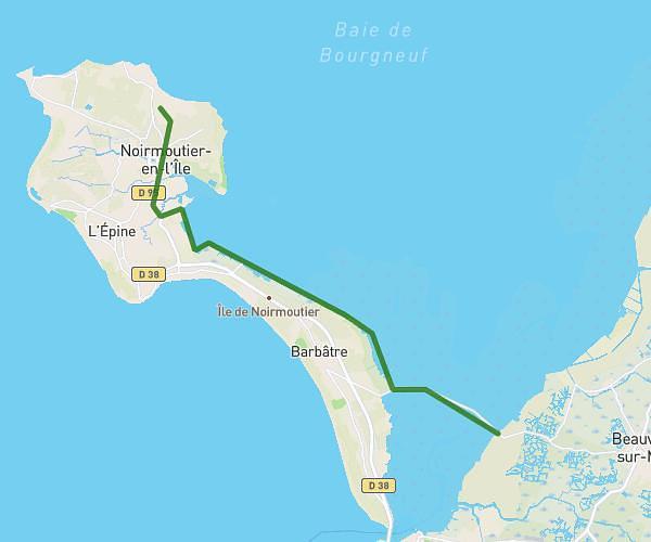
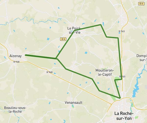
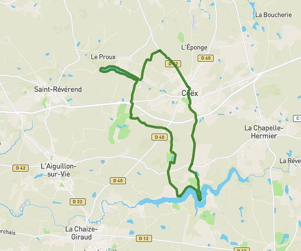
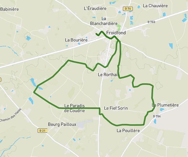
This hiking trail covers 11.731mi starting from Challans, Vendée. The hike is a loop trail and returns to the trailhead. This hike is rated as easy, plan for about 3h8m to complete it. The route has an elevation gain of 210ft and an elevation loss of 217ft.
Terriere 25/02
Route details
3.73mph
Speed
1329 kcal
Calories burned
0.7%
Avg grade
Loop trail
Route type
20ft
Min altitude
82ft
Max altitude
Route profile
210ft
Elevation gain
217ft
Elevation loss
20ft
Min altitude
82ft
Max altitude
How to get there
Trailhead: Rue Maurice Fillonneau, 85300 Challans
GPS coordinates of the trailhead: 46.85736, -1.87886 / 46°51'26'' N, 1°52'43'' W