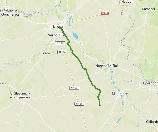
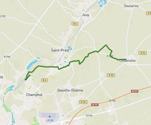
This hiking trail covers 11.451mi starting from Bouglainval, Eure-et-Loir. The hike does not return to the trailhead and ends near Cloître Notre-Dame, 28000 Chartres. This hike is rated as moderate, plan for about 4h6m to complete it. The route has an elevation gain of 528ft and an elevation loss of 446ft.
Bouglainval - Chartres
Route details
2.79mph
Speed
1747 kcal
Calories burned
1.6%
Avg grade
Point to point
Route type
390ft
Min altitude
558ft
Max altitude
Route profile
528ft
Elevation gain
446ft
Elevation loss
390ft
Min altitude
558ft
Max altitude
How to get there
Trailhead: Route De Berchères, 28130 Bouglainval
GPS coordinates of the trailhead: 48.55986, 1.51005 / 48°33'35'' N, 1°30'36'' E