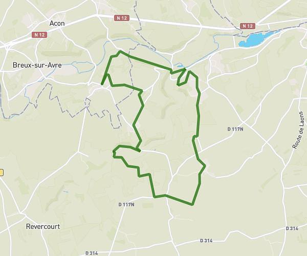
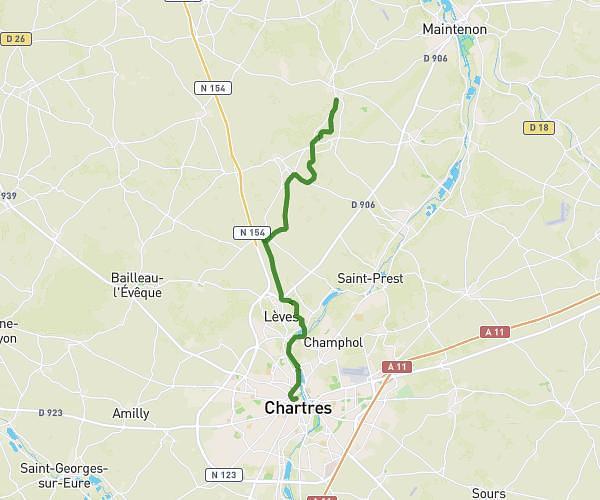
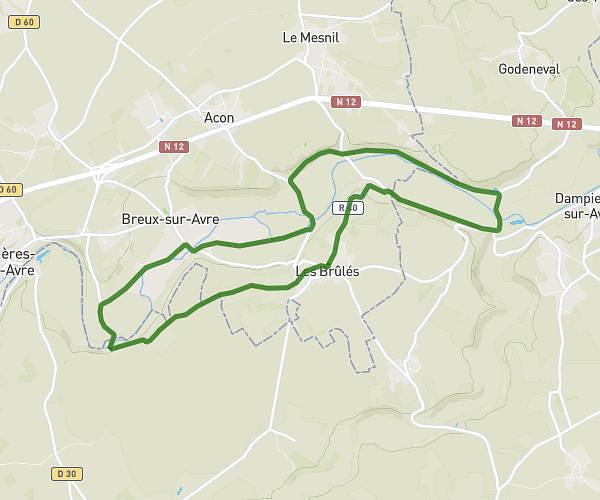
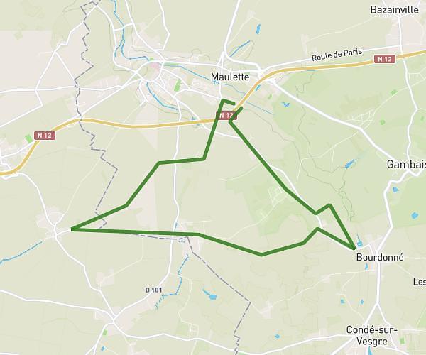
This hiking trail covers 16.673mi starting from Dreux, Eure-et-Loir. The hike does not return to the trailhead and ends near Route De Berchères, 28130 Bouglainval. This hike is rated as moderate, plan for about 5h58m to complete it. The route has an elevation gain of 676ft and an elevation loss of 554ft.
Dreux - Bouglainval
Route details
2.8mph
Speed
2538 kcal
Calories burned
1.4%
Avg grade
Point to point
Route type
302ft
Min altitude
492ft
Max altitude
Route profile
676ft
Elevation gain
554ft
Elevation loss
302ft
Min altitude
492ft
Max altitude
How to get there
Trailhead: Place Métézeau, 28100 Dreux
GPS coordinates of the trailhead: 48.73598, 1.36798 / 48°44'9'' N, 1°22'4'' E