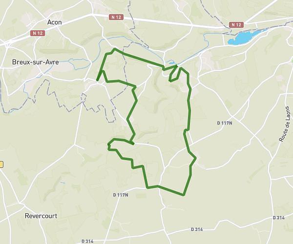
This hiking trail covers 7.949mi starting from Acon, Eure. The hike is a loop trail and returns to the trailhead. This hike is rated as moderate, plan for about 3h to complete it. The route has an elevation gain of 505ft and an elevation loss of 509ft.
Foret-Varennes-Iralnde-Islou
Route details
2.65mph
Speed
1285 kcal
Calories burned
2.4%
Avg grade
Loop trail
Route type
377ft
Min altitude
600ft
Max altitude
Route profile
505ft
Elevation gain
509ft
Elevation loss
377ft
Min altitude
600ft
Max altitude
How to get there
Trailhead: 7 Rue Du Pressoir, 27570 Acon, France
GPS coordinates of the trailhead: 48.7572, 1.10744 / 48°45'25'' N, 1°6'26'' E