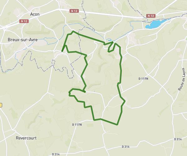
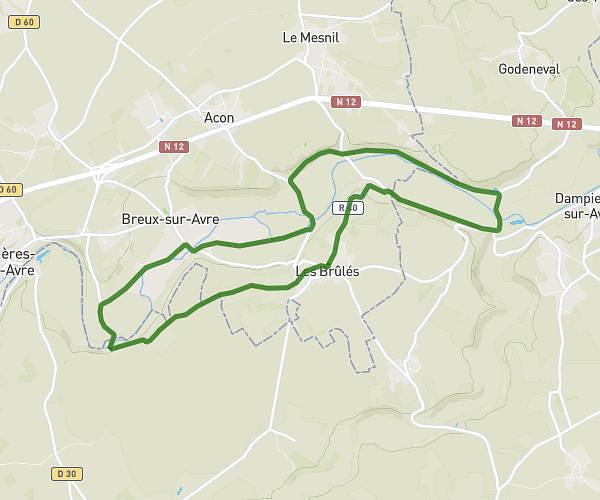
This hiking trail covers 8.728mi starting from Mesnils-sur-Iton, Eure. The hike is a loop trail and returns to the trailhead. This hike is rated as easy, plan for about 2h to complete it. The route has an elevation gain of 351ft and an elevation loss of 351ft.
Manthelon le sacq
Route details
4.36mph
Speed
851 kcal
Calories burned
1.5%
Avg grade
Loop trail
Route type
413ft
Min altitude
502ft
Max altitude
Route profile
351ft
Elevation gain
351ft
Elevation loss
413ft
Min altitude
502ft
Max altitude
How to get there
Trailhead: Chemin De La Fosse La Belle, 27240 Mesnils-sur-Iton
GPS coordinates of the trailhead: 48.91027, 1.05042 / 48°54'36'' N, 1°3'1'' E