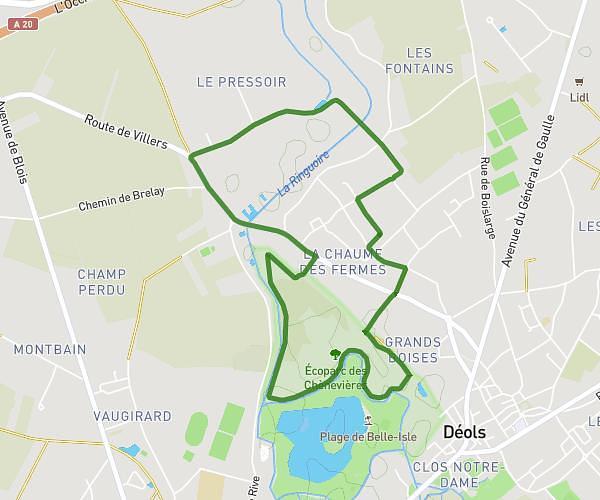
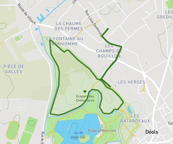
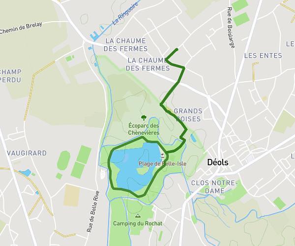
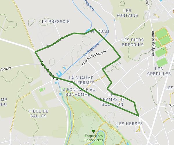
This running route covers 0.643mi starting from Châteauroux, Indre. The run is a loop trail and returns to the trailhead. This run is rated as easy, expect about 14m to complete it. The route has an elevation gain of 16ft and an elevation loss of 16ft.
parcours 1km 2
Route details
2.76mph
Speed
160 kcal
Calories burned
Loop trail
Route type
512ft
Min altitude
525ft
Max altitude
Route profile
16ft
Elevation gain
16ft
Elevation loss
512ft
Min altitude
525ft
Max altitude
How to get there
Trailhead: 33 Cours Saint-Luc, 36000 Châteauroux, France
GPS coordinates of the trailhead: 46.811736, 1.697732 / 46°48'42'' N, 1°41'51'' E