MapPlanner
2.319mi
Distance
22m
Duration
9:29/mi
Pace
Easy
Level

Eco parc

Route details

6.33mph
Speed
252 kcal
Calories burned
Loop trail
Route type
456ft
Min altitude
472ft
Max altitude

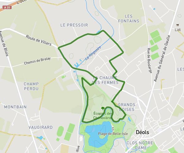
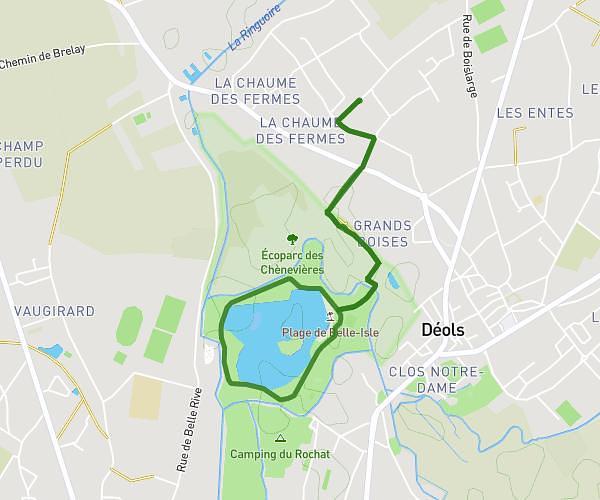
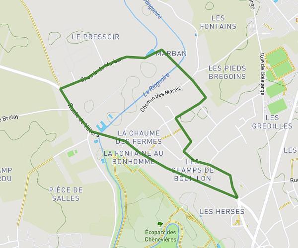
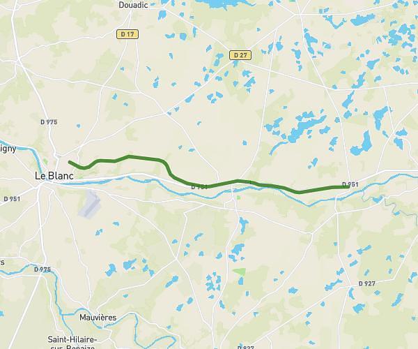
This running route covers 2.319mi starting from Déols, Indre. The run is a loop trail and returns to the trailhead. This run is rated as easy, expect about 22m to complete it. The route has an elevation gain of 16ft and an elevation loss of 16ft.

Route profile

16ft
Elevation gain
16ft
Elevation loss
456ft
Min altitude
472ft
Max altitude

How to get there

Trailhead: Rue Jean Jablin, 36130 Déols

GPS coordinates of the trailhead: 46.83426, 1.69633 / 46°50'3'' N, 1°41'46'' E

Caution: May Cross Private Property

This route may pass through or near private property. Always respect posted signs, obtain permission where required, and follow local trespassing laws. MapPlanner does not guarantee public access along any route.

Safety Notice

Trail and road conditions may change without notice due to weather, construction, or other factors. Always verify current conditions before heading out. You are responsible for your own safety — follow local signage, obey traffic laws, and use your best judgment on the trail.