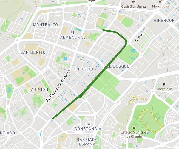
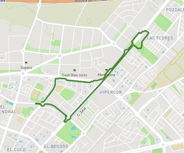
This walking route covers 5.344mi starting from Rota, Cádiz. The walk is a loop trail and returns to the trailhead. This walk is rated as hard, plan for about 1h58m to complete it. The route has an elevation gain of 361ft and an elevation loss of 361ft.
Paseo
Route details
22:06/mi
Pace
482 kcal
Calories burned
Loop trail
Route type
3ft
Min altitude
82ft
Max altitude
Route profile
361ft
Elevation gain
361ft
Elevation loss
3ft
Min altitude
82ft
Max altitude
How to get there
Trailhead: Plaza Príncipe Felipe 5, 11520 Rota, Cádiz, Spain
GPS coordinates of the trailhead: 36.626924, -6.362306 / 36°37'36'' N, 6°21'44'' W