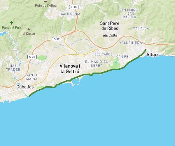
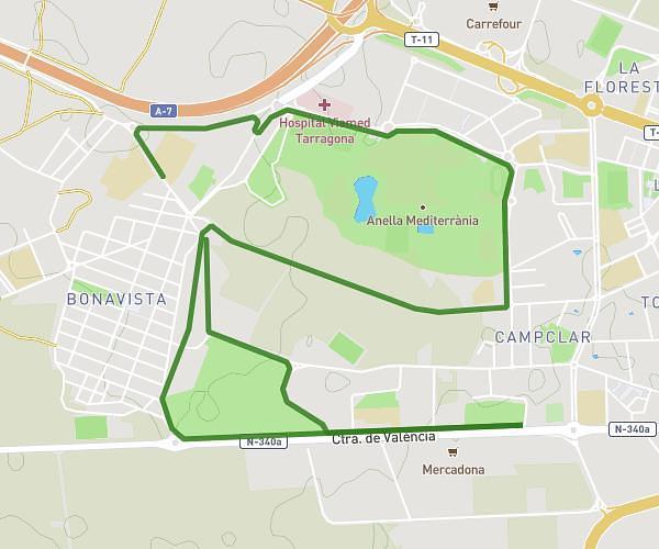
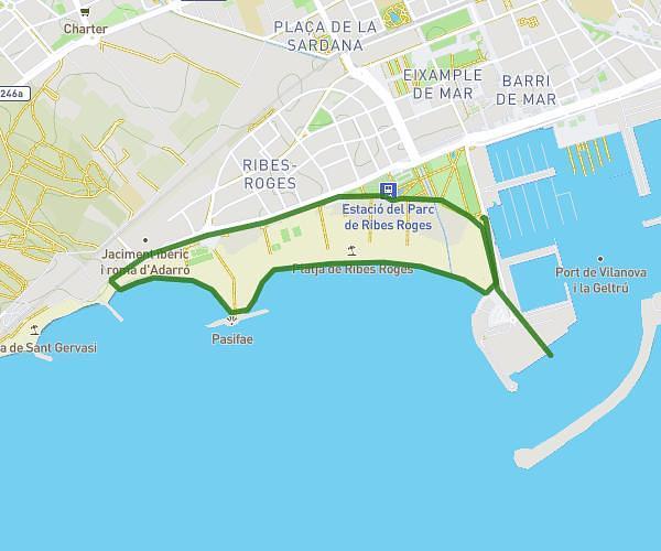
This running route covers 3.719mi starting from Roda de Berà, Tarragona. The run does not return to the trailhead and ends near Passeig Marítim 3, 43883 Roda de Berà, Tarragona, Spain. This run is rated as easy, expect about 35m30s to complete it. The route has an elevation gain of 269ft and an elevation loss of 295ft.
Rute corta segundo día Míercoles 10/06/26
Route details
6.29mph
Speed
406 kcal
Calories burned
Point to point
Route type
0ft
Min altitude
39ft
Max altitude
Route profile
269ft
Elevation gain
295ft
Elevation loss
0ft
Min altitude
39ft
Max altitude
How to get there
Trailhead: Plaça Catalunya 2, 43883 Roda de Berà, Tarragona, Spain
GPS coordinates of the trailhead: 41.173623, 1.486384 / 41°10'25'' N, 1°29'10'' E