MapPlanner
  • Kilometers
  • Miles
  • France (€)
  • Belgique (€)
  • United Kingdom (£)
  • Ireland (€)
  • United States ($)
  • Canada ($CA)
  • Italia (€)
  • Deutschland (€)
  • Österreich (€)
  • España (€)
  • Schweiz (CHF)
  • Australia (AU$)
  • Calculate distance
    • Running
    • Hiking
    • Cycling
    • Walking
  • Collaborative routes
MapPlanner
  • Calculate distance
    • Running
    • Hiking
    • Cycling
    • Walking
  • Collaborative routes
  • Search a route

Create an Account

Log In

Tarragona: Running Routes, Hiking Trails and Bike Rides

  1. All Places
  2. Spain

Best running routes, hiking trails and bike rides in Tarragona

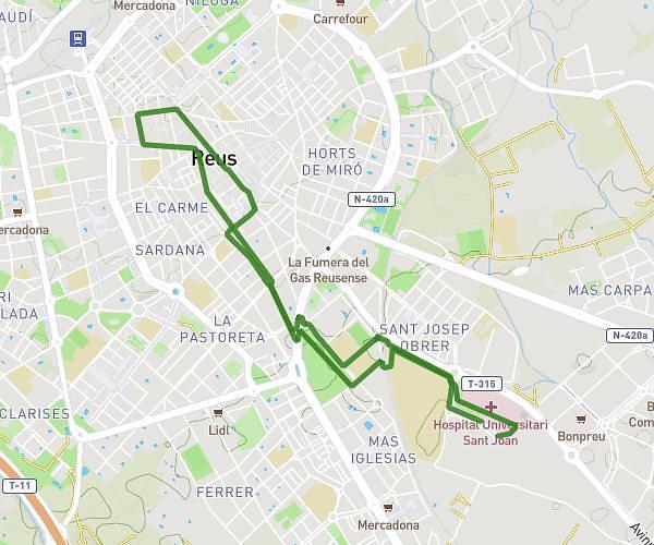
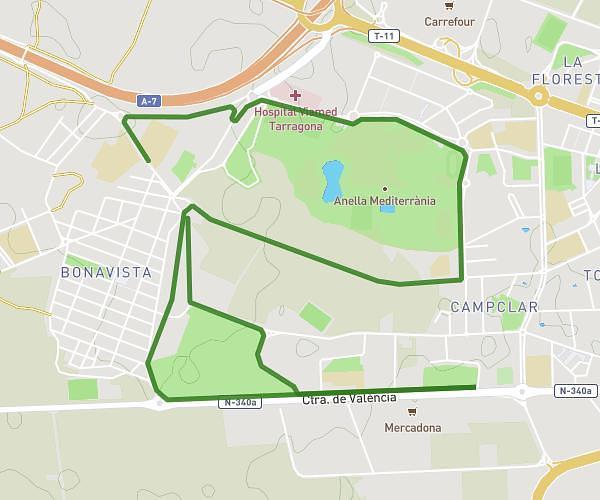
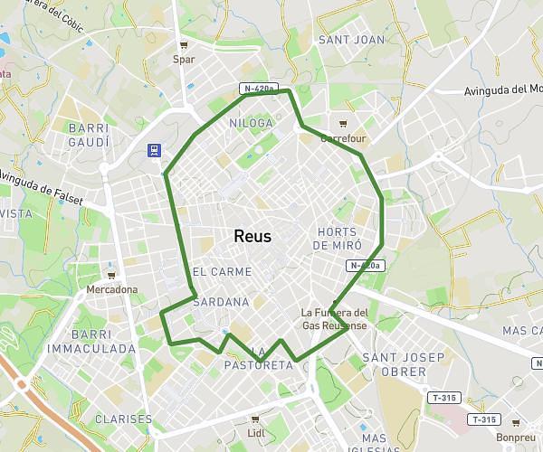
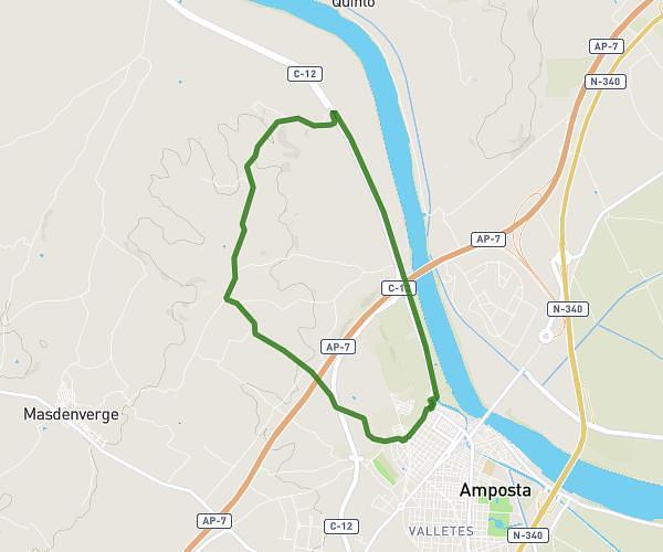
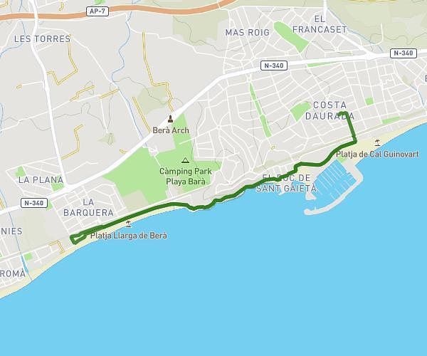
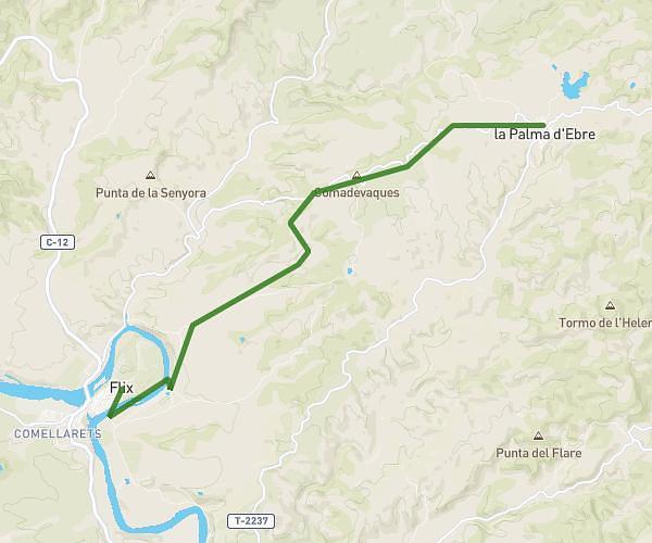
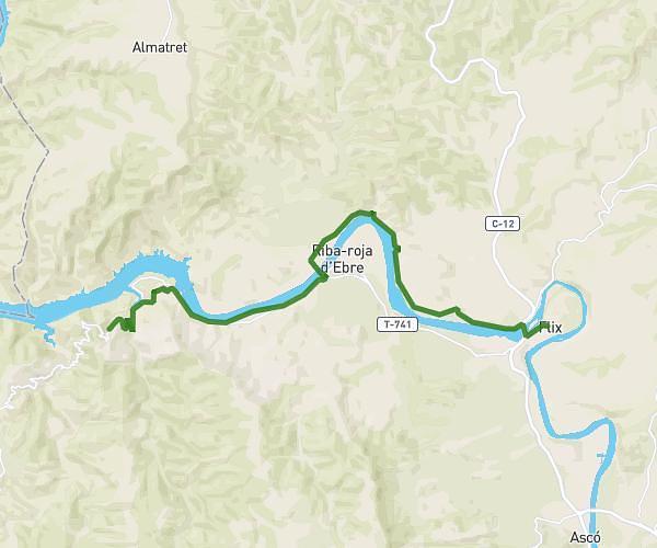
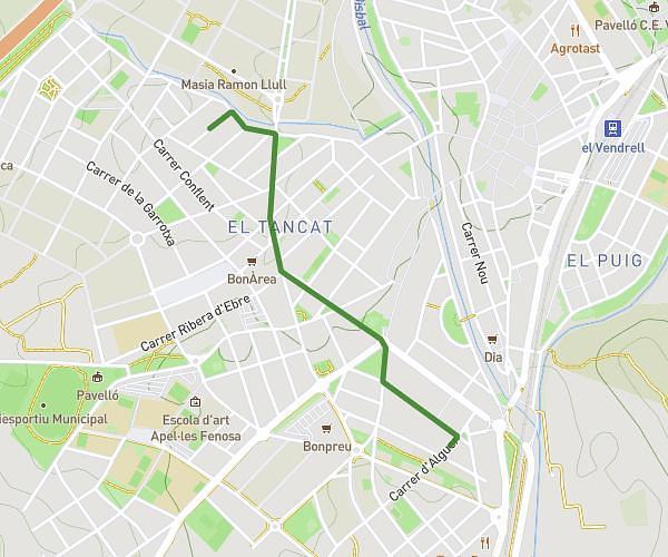
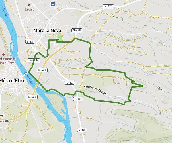
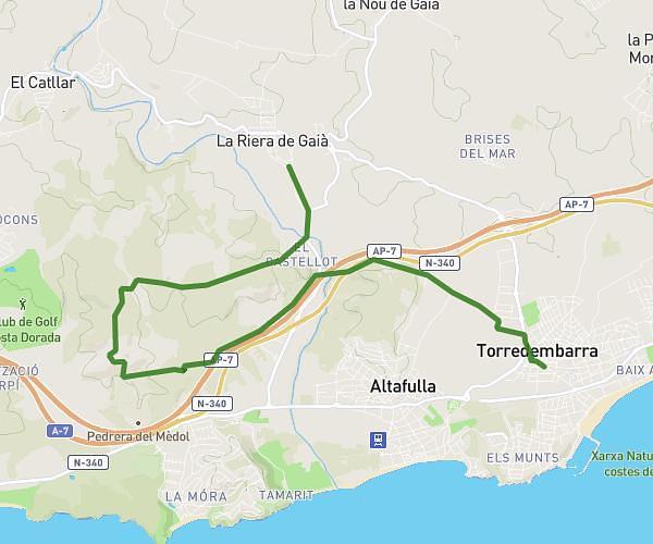
Explore all routes by zooming on the map or browse the list of runs, hikes and bike rides below.

Popular routes in Tarragona

  • Running
  • Hiking
  • Bike
  • Walk
Cursa Fem Salut Reus 2026
run1
Running
Easy

Cursa Fem Salut Reus 2026

3.734mi
•
40m
•
5.6mph
Tarragona - Reus
6km
Miriam Martinez
Running
Easy

6km

3.909mi
•
1h
•
3.91mph
Tarragona - Reus
Volta torre de la Carroba
eltomatero98
Running
Moderate

Volta torre de la Carroba

5.791mi
•
1h2m
•
5.6mph
Tarragona - Amposta
6,5km
AAAAAH
Running
Easy

6,5km

4.169mi
•
45m
•
5.56mph
Tarragona - Tarragona
No rides for this type yet
de casa a Luisa
Bcn52
Walk
Easy

de casa a Luisa

0.766mi
•
16m
Tarragona - El Vendrell

Running routes, hikes and bike rides by city in Tarragona

Amposta (1)
El Vendrell (1)
Reus (2)
Tarragona (1)
Your country
France (km)
Belgique (km)
United Kingdom (km)
Ireland (km)
United States (mi)
Canada (km)
Italia (km)
Deutschland (km)
Österreich (km)
España (km)
Schweiz (km)
Australia (km)
MapPlanner
Log in Sign up
Subscription
Blogs
FAQ
Contact us
About
Terms of use
Privacy policy
Sales terms
Plan your routes
Running / Jogging
Hiking / Trail running
Cycling / MTB
Walking / Strolling
Collaborative routes
Create a collaborative route
Popular routes by location
Discover all locations
New York - United States
Angola
Coram
Jamestown
Middle Island
New York
Yonkers
Routes and trail information are provided for planning purposes only. Conditions may change — always verify before heading out. Users are solely responsible for their own safety.
© Copyright 2026 (4.0.44). All rights reserved. Powered by SeoCache and the best blog platform: GinkoNote.
💬 Give your feedback

We would like to know your opinion

Your feedback helps us improve MapPlanner. Tell us about your experience and which features you need.

Success
Success
Success
Success