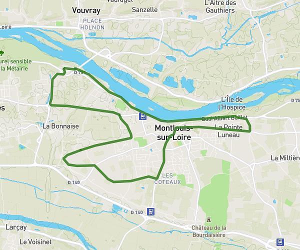
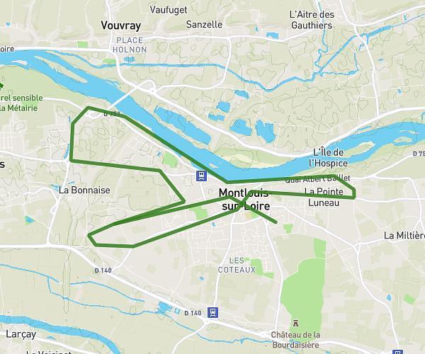
This running route covers 3.544mi starting from Fondettes, Indre-et-Loire. The run is a loop trail and returns to the trailhead. This run is rated as easy, expect about 40m to complete it. The route has an elevation gain of 171ft and an elevation loss of 171ft.
Fondettes n°3
Route details
5.32mph
Speed
457 kcal
Calories burned
Loop trail
Route type
259ft
Min altitude
318ft
Max altitude
Route profile
171ft
Elevation gain
171ft
Elevation loss
259ft
Min altitude
318ft
Max altitude
How to get there
Trailhead: 1 Rue Le Corbusier, 37230 Fondettes, France
GPS coordinates of the trailhead: 47.40397, 0.625564 / 47°24'14'' N, 0°37'32'' E