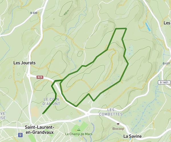
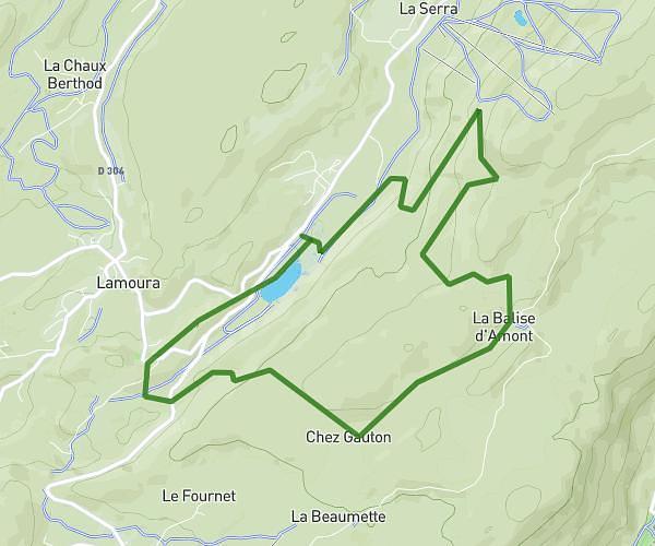
This running route covers 5.479mi starting from Château-Chalon, Jura. The run is a loop trail and returns to the trailhead. This run is rated as moderate, expect about 1h6m to complete it. The route has an elevation gain of 1916ft and an elevation loss of 1916ft.
Granges de Ladoye
Route details
4.97mph
Speed
756 kcal
Calories burned
Loop trail
Route type
1047ft
Min altitude
1788ft
Max altitude
Route profile
1916ft
Elevation gain
1916ft
Elevation loss
1047ft
Min altitude
1788ft
Max altitude
How to get there
Trailhead: D 5, 39210 Château-Chalon
GPS coordinates of the trailhead: 46.76538, 5.6744 / 46°45'55'' N, 5°40'27'' E