MapPlanner
11.461mi
Distance
1h2m
Duration
11.02mph
Speed
+1122ft
Elevation gain
-6381ft
Elevation loss
Strenuous
Level

Choachí

Route details

559 kcal
Calories burned
12.4%
Avg grade
Point to point
Route type
5650ft
Min altitude
11033ft
Max altitude
Steep climb

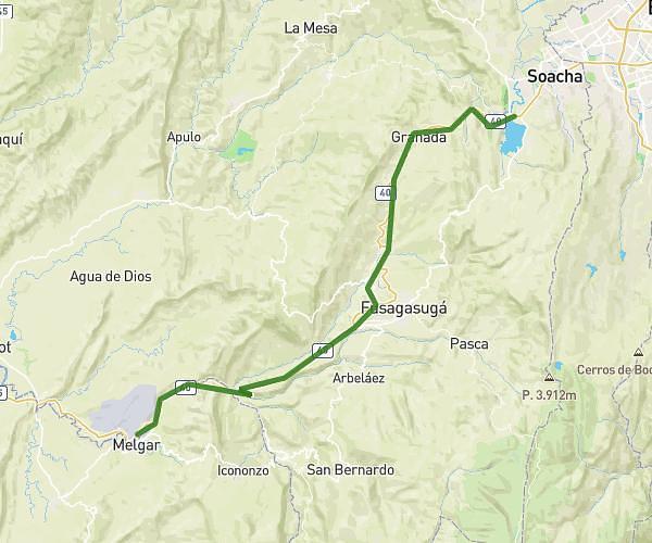
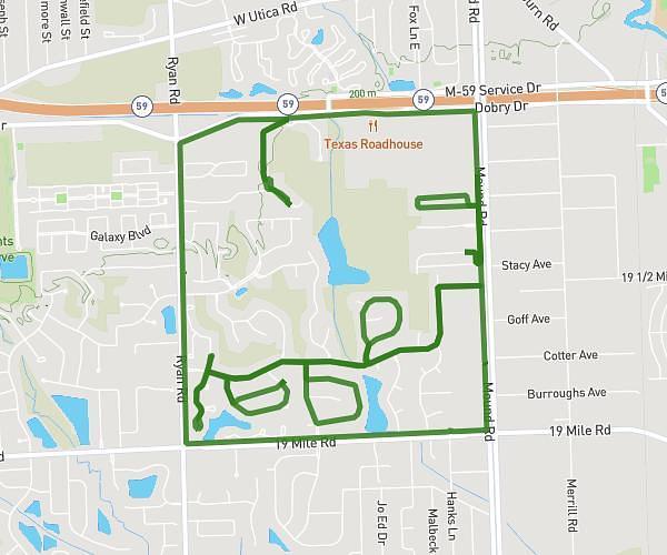
This cycling route covers 11.461mi starting from . The ride does not return to the trailhead and ends near . This route is rated as strenuous, plan for about 1h2m to complete it. The route has an elevation gain of 1122ft and an elevation loss of 6381ft.

Route profile

1122ft
Elevation gain
6381ft
Elevation loss
5650ft
Min altitude
11033ft
Max altitude

How to get there

Trailhead:

GPS coordinates of the trailhead: 4.565225, -74.005693 / 4°33'54'' N, 74°0'20'' W

Caution: May Cross Private Property

This route may pass through or near private property. Always respect posted signs, obtain permission where required, and follow local trespassing laws. MapPlanner does not guarantee public access along any route.

Safety Notice

Trail and road conditions may change without notice due to weather, construction, or other factors. Always verify current conditions before heading out. You are responsible for your own safety — follow local signage, obey traffic laws, and use your best judgment on the trail.