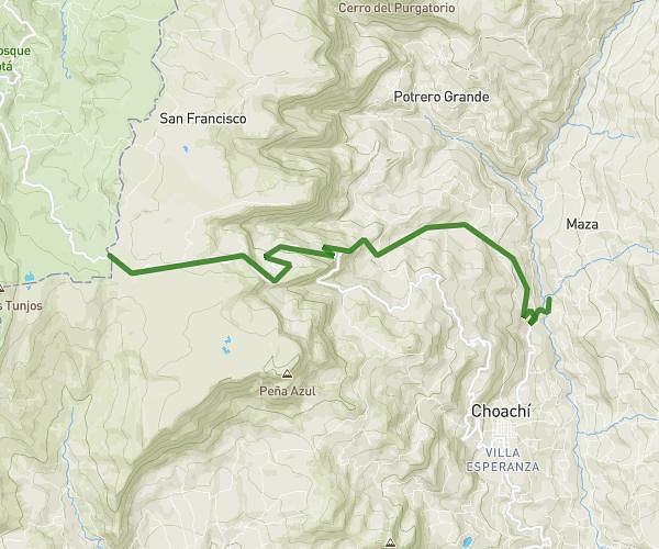
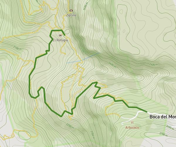
This cycling route covers 49.872mi starting from Sibaté, Cundinamarca. The ride does not return to the trailhead and ends near Autopista Bogotá Girardot - Boquerón - Fusagasugá, 252408 Nilo, Cundinamarca, Colombia. This route is rated as strenuous, plan for about 3h2m to complete it. The route has an elevation gain of 4462ft and an elevation loss of 11778ft.
Melgar
Route details
1634 kcal
Calories burned
6.2%
Avg grade
Point to point
Route type
1099ft
Min altitude
9157ft
Max altitude
Steep climb
Route profile
4462ft
Elevation gain
11778ft
Elevation loss
1099ft
Min altitude
9157ft
Max altitude
How to get there
Trailhead: Fusagasugá - Silvania - Soacha, 250077 Sibaté, Cundinamarca, Colombia
GPS coordinates of the trailhead: 4.541442, -74.25356 / 4°32'29'' N, 74°15'12'' W