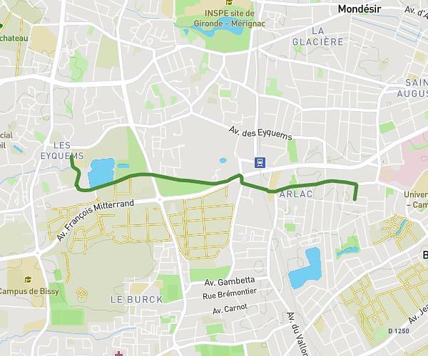
This cycling route covers 4.516mi starting from Bordeaux, Gironde. The ride does not return to the trailhead and ends near 64 Quai Des Queyries, 33100 Bordeaux, France. This route is rated as easy, plan for about 1h to complete it. The route has an elevation gain of 33ft and an elevation loss of 46ft.
Back Market
Route details
526 kcal
Calories burned
0.3%
Avg grade
Point to point
Route type
3ft
Min altitude
33ft
Max altitude
Route profile
33ft
Elevation gain
46ft
Elevation loss
3ft
Min altitude
33ft
Max altitude
How to get there
Trailhead: 6 Place Pierre Cétois, 33300 Bordeaux, France
GPS coordinates of the trailhead: 44.86553, -0.55052 / 44°51'55'' N, 0°33'1'' W