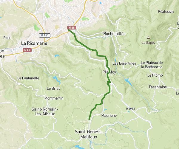
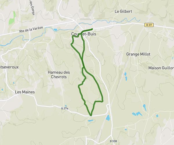
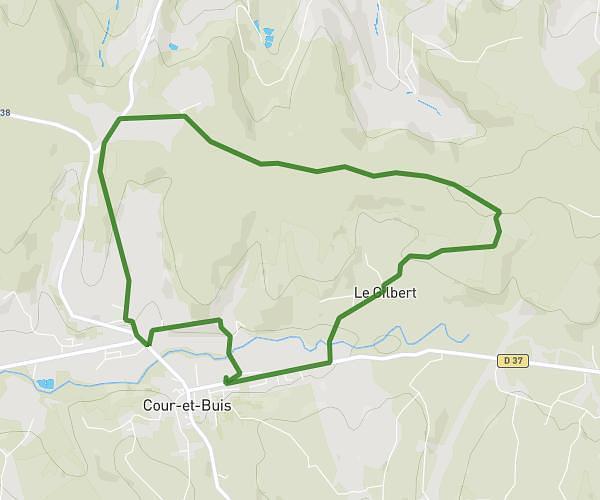
This running route covers 8.892mi starting from Saint-Jacques-d'Atticieux, Ardèche. The run is a loop trail and returns to the trailhead. This run is rated as hard, expect about 1h35m to complete it. The route has an elevation gain of 594ft and an elevation loss of 577ft.
Entraînement trail avec yoyo
Route details
5.62mph
Speed
1086 kcal
Calories burned
Loop trail
Route type
1539ft
Min altitude
2133ft
Max altitude
Route profile
594ft
Elevation gain
577ft
Elevation loss
1539ft
Min altitude
2133ft
Max altitude
How to get there
Trailhead: 835 Route De Saint-Julien, 07340 Saint-Jacques-d'Atticieux, France
GPS coordinates of the trailhead: 45.333031, 4.660492 / 45°19'58'' N, 4°39'37'' E