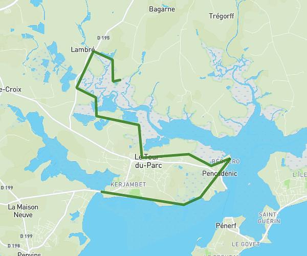
This hiking trail covers 9.025mi starting from La Vraie-Croix, Morbihan. The hike is a loop trail and returns to the trailhead. This hike is rated as moderate, plan for about 2h20m to complete it. The route has an elevation gain of 607ft and an elevation loss of 607ft.
Lvc
Route details
3.87mph
Speed
1001 kcal
Calories burned
2.5%
Avg grade
Loop trail
Route type
289ft
Min altitude
459ft
Max altitude
Route profile
607ft
Elevation gain
607ft
Elevation loss
289ft
Min altitude
459ft
Max altitude
How to get there
Trailhead: Rue Du Verger, 56250 La Vraie-Croix
GPS coordinates of the trailhead: 47.69072, -2.53649 / 47°41'26'' N, 2°32'11'' W