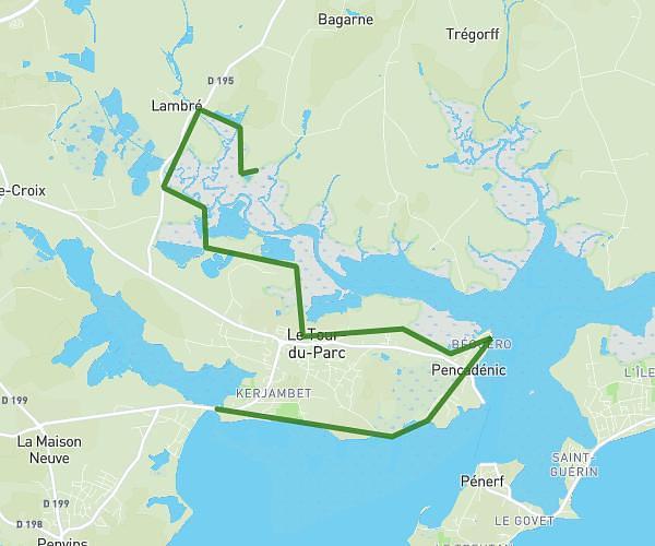
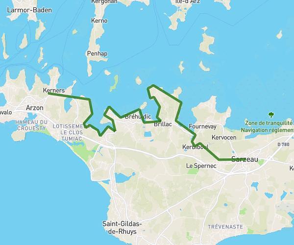
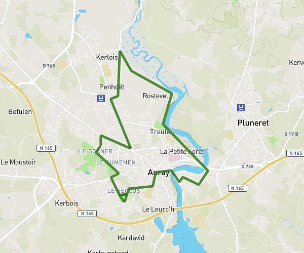
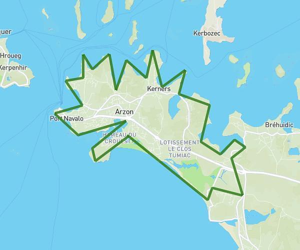
This hiking trail covers 17.049mi starting from Vannes, Morbihan. The hike does not return to the trailhead and ends near C 50, 56190 Ambon, France. This hike is rated as moderate, plan for about 3h3m to complete it. The route has an elevation gain of 512ft and an elevation loss of 495ft.
Vannes Ambon
Route details
5.59mph
Speed
1293 kcal
Calories burned
1.1%
Avg grade
Point to point
Route type
0ft
Min altitude
98ft
Max altitude
Route profile
512ft
Elevation gain
495ft
Elevation loss
0ft
Min altitude
98ft
Max altitude
How to get there
Trailhead: 5 Rue Saint-Vincent, 56000 Vannes, France
GPS coordinates of the trailhead: 47.654704, -2.758037 / 47°39'16'' N, 2°45'28'' W