MapPlanner
7.738mi
Distance
2h15m
Duration
+522ft
Elevation gain
-525ft
Elevation loss
Moderate
Level

Boucle

Route details

3.44mph
Speed
966 kcal
Calories burned
2.6%
Avg grade
Loop trail
Route type
10ft
Min altitude
144ft
Max altitude

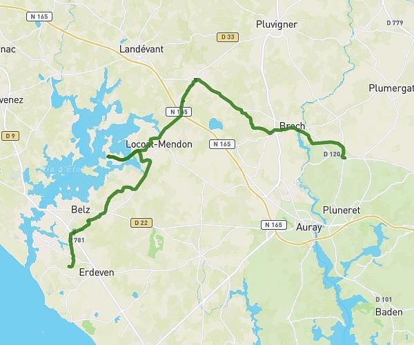
This hiking trail covers 7.738mi starting from Auray, Morbihan. The hike is a loop trail and returns to the trailhead. This hike is rated as moderate, plan for about 2h15m to complete it. The route has an elevation gain of 522ft and an elevation loss of 525ft.

Route profile

522ft
Elevation gain
525ft
Elevation loss
10ft
Min altitude
144ft
Max altitude

How to get there

Trailhead: 16 Rue Des Trois Fontaines, 56400 Auray, France

GPS coordinates of the trailhead: 47.6716, -2.99941 / 47°40'17'' N, 2°59'57'' W

Caution: May Cross Private Property

This route may pass through or near private property. Always respect posted signs, obtain permission where required, and follow local trespassing laws. MapPlanner does not guarantee public access along any route.

Safety Notice

Trail and road conditions may change without notice due to weather, construction, or other factors. Always verify current conditions before heading out. You are responsible for your own safety — follow local signage, obey traffic laws, and use your best judgment on the trail.