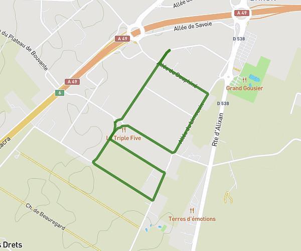
This running route covers 1.269mi starting from Chantemerle-les-Blés, Drôme. The run is a loop trail and returns to the trailhead. This run is rated as easy, expect about 13m37s to complete it. The route has an elevation gain of 194ft and an elevation loss of 200ft.
BOIS DE L'ANE
Route details
5.59mph
Speed
156 kcal
Calories burned
Loop trail
Route type
715ft
Min altitude
817ft
Max altitude
Route profile
194ft
Elevation gain
200ft
Elevation loss
715ft
Min altitude
817ft
Max altitude
How to get there
Trailhead: 330 Route De Chantemerle, 26260 Chantemerle-les-Blés, France
GPS coordinates of the trailhead: 45.120753, 4.910993 / 45°7'14'' N, 4°54'39'' E