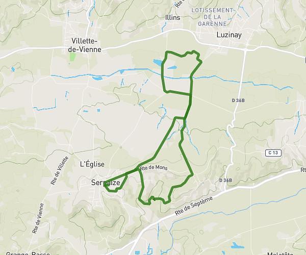
This running route covers 4.008mi starting from Chanas, Isère. The run is a loop trail and returns to the trailhead. This run is rated as easy, expect about 43m to complete it. The route has an elevation gain of 322ft and an elevation loss of 322ft.
Backyard parcours 3
Route details
5.59mph
Speed
492 kcal
Calories burned
Loop trail
Route type
541ft
Min altitude
722ft
Max altitude
Route profile
322ft
Elevation gain
322ft
Elevation loss
541ft
Min altitude
722ft
Max altitude
How to get there
Trailhead: 8 Rue Du 29 Août, 38150 Chanas, France
GPS coordinates of the trailhead: 45.32091, 4.82589 / 45°19'15'' N, 4°49'33'' E