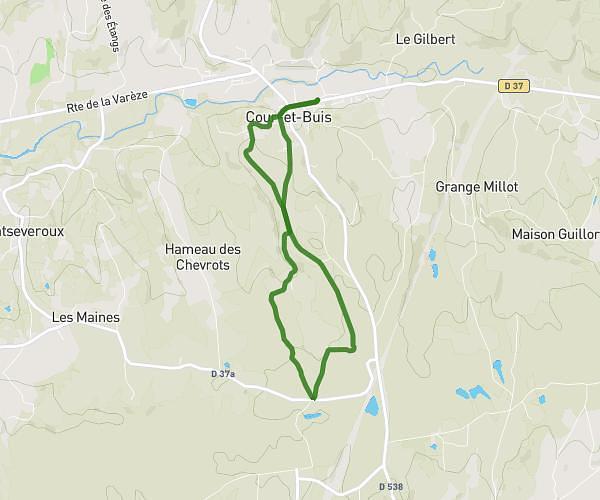
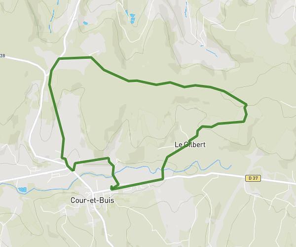
This running route covers 7.771mi starting from Serpaize, Isère. The run is a loop trail and returns to the trailhead. This run is rated as hard, expect about 1h23m to complete it. The route has an elevation gain of 791ft and an elevation loss of 794ft.
Serpaize
Route details
5.59mph
Speed
953 kcal
Calories burned
Loop trail
Route type
686ft
Min altitude
1053ft
Max altitude
Route profile
791ft
Elevation gain
794ft
Elevation loss
686ft
Min altitude
1053ft
Max altitude
How to get there
Trailhead: 2 Rue Du Mont Blanc, 38200 Serpaize, France
GPS coordinates of the trailhead: 45.55828, 4.920045 / 45°33'29'' N, 4°55'12'' E