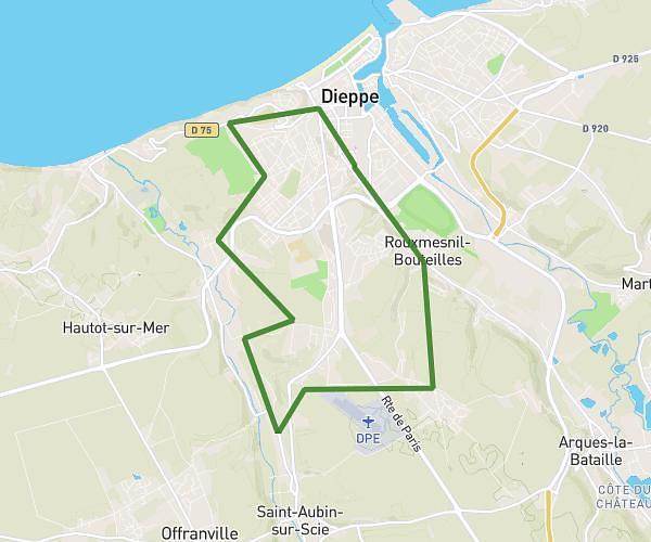
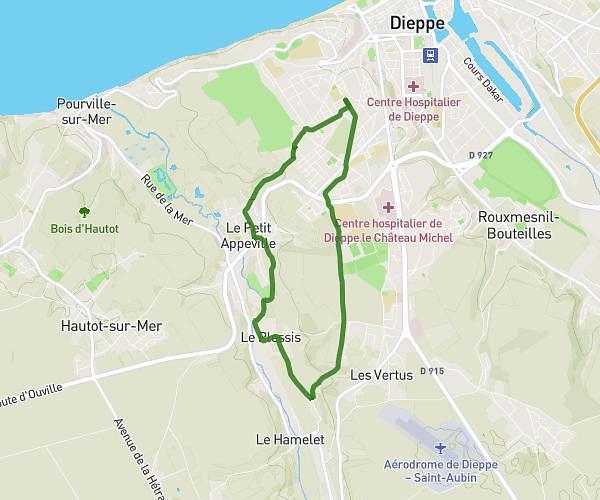
This walking route covers 3.475mi starting from Saint-Nicolas-d'Aliermont, Seine-Maritime. The walk is a loop trail and returns to the trailhead. This walk is rated as moderate, plan for about 21m to complete it. The route has an elevation gain of 135ft and an elevation loss of 135ft.
Saint Nicolas d'Aliermont 1
Route details
6:03/mi
Pace
86 kcal
Calories burned
Loop trail
Route type
400ft
Min altitude
479ft
Max altitude
Route profile
135ft
Elevation gain
135ft
Elevation loss
400ft
Min altitude
479ft
Max altitude
How to get there
Trailhead: 261 Rue De La Plaine, 76510 Saint-Nicolas-d'Aliermont, France
GPS coordinates of the trailhead: 49.883565, 1.214789 / 49°53'0'' N, 1°12'53'' E