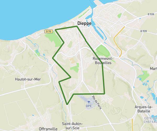
This walking route covers 15.123mi starting from Petit-Caux, Seine-Maritime. The walk is a loop trail and returns to the trailhead. This walk is rated as strenuous, plan for about 6h5m to complete it. The route has an elevation gain of 341ft and an elevation loss of 305ft.
sergio
Route details
24:08/mi
Pace
1491 kcal
Calories burned
Loop trail
Route type
30ft
Min altitude
371ft
Max altitude
Route profile
341ft
Elevation gain
305ft
Elevation loss
30ft
Min altitude
371ft
Max altitude
How to get there
Trailhead: Lotissement Le Clos Normand, 76370 Petit-Caux, France
GPS coordinates of the trailhead: 49.93643, 1.18418 / 49°56'11'' N, 1°11'3'' E