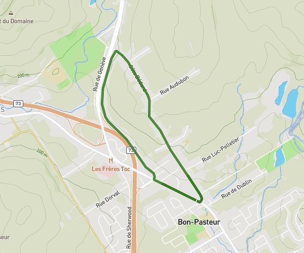
This hiking trail covers 12.761mi starting from Lévis, Quebec. The hike is a loop trail and returns to the trailhead. This hike is rated as moderate, plan for about 3h23m to complete it. The route has an elevation gain of 646ft and an elevation loss of 646ft.
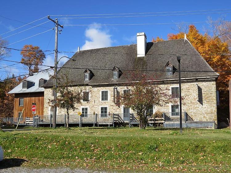
Croix de chemin 1
Route details
2.49mph
Speed
1444 kcal
Calories burned
1.9%
Avg grade
Loop trail
Route type
16ft
Min altitude
318ft
Max altitude
Route profile
646ft
Elevation gain
646ft
Elevation loss
16ft
Min altitude
318ft
Max altitude
How to get there
Trailhead: Rue Saint-Ignace, G6V 1X8 Lévis
GPS coordinates of the trailhead: 46.82621, -71.15411 / 46°49'34'' N, 71°9'14'' W