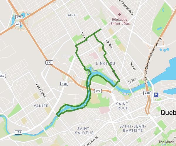
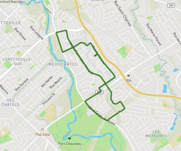
This running route covers 3.116mi starting from Québec, Quebec. The run is a loop trail and returns to the trailhead. This run is rated as easy, expect about 33m to complete it. The route has an elevation gain of 13ft and an elevation loss of 13ft.
5km les saules - corrigé
Route details
5.67mph
Speed
377 kcal
Calories burned
Loop trail
Route type
36ft
Min altitude
49ft
Max altitude
Route profile
13ft
Elevation gain
13ft
Elevation loss
36ft
Min altitude
49ft
Max altitude
How to get there
Trailhead: 4055 Rue Boileau, Québec, Quebec G1P 2A1, Canada
GPS coordinates of the trailhead: 46.79919, -71.30619 / 46°47'57'' N, 71°18'22'' W