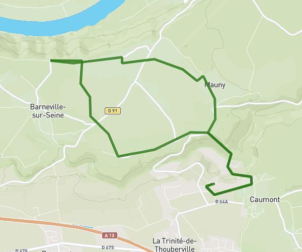
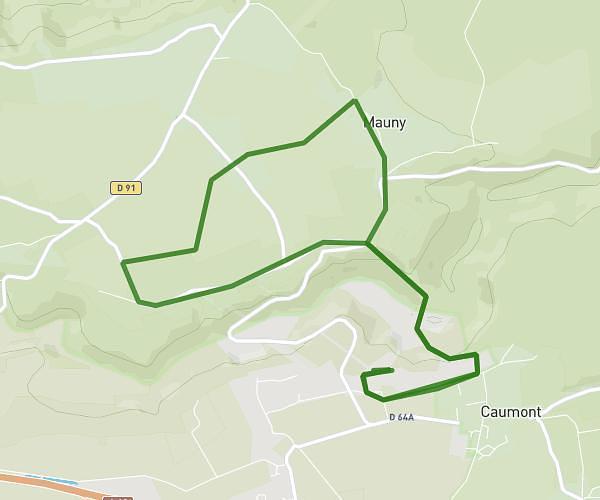
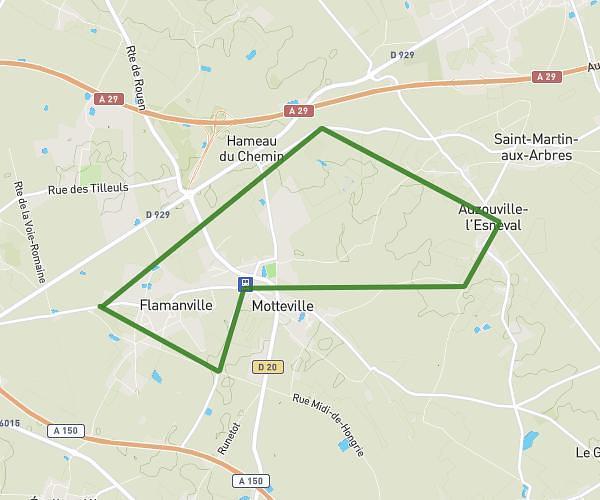
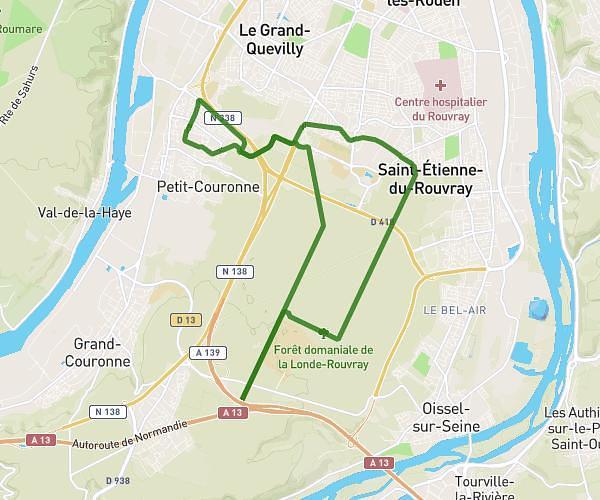
This running route covers 15.467mi starting from Barentin, Seine-Maritime. The run is a loop trail and returns to the trailhead. This run is rated as strenuous, expect about 2h29m to complete it. The route has an elevation gain of 295ft and an elevation loss of 299ft.
parcours 1
Route details
6.23mph
Speed
1704 kcal
Calories burned
Loop trail
Route type
49ft
Min altitude
344ft
Max altitude
Route profile
295ft
Elevation gain
299ft
Elevation loss
49ft
Min altitude
344ft
Max altitude
How to get there
Trailhead: 1 Rue D'aurigny, 76360 Barentin, France
GPS coordinates of the trailhead: 49.54808, 0.95645 / 49°32'53'' N, 0°57'23'' E