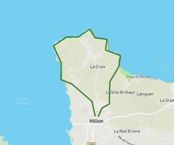
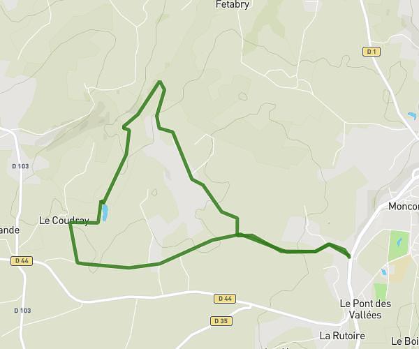
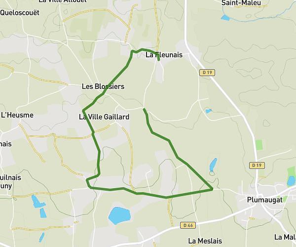
This running route covers 3.069mi starting from Plédéliac, Côtes-d'Armor. The run is a loop trail and returns to the trailhead. This run is rated as easy, expect about 33m to complete it. The route has an elevation gain of 30ft and an elevation loss of 43ft.
Kassandra
Route details
5.58mph
Speed
377 kcal
Calories burned
Loop trail
Route type
282ft
Min altitude
318ft
Max altitude
Route profile
30ft
Elevation gain
43ft
Elevation loss
282ft
Min altitude
318ft
Max altitude
How to get there
Trailhead: 4 Impasse Des Bruyères, 22270 Plédéliac, France
GPS coordinates of the trailhead: 48.4523, -2.38423 / 48°27'8'' N, 2°23'3'' W