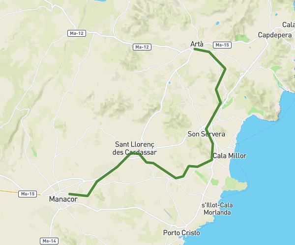
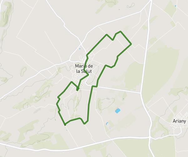
This running route covers 7.874mi starting from Sant Llorenç des Cardassar, Balearic Islands. The run is a loop trail and returns to the trailhead. This run is rated as hard, expect about 1h24m to complete it. The route has an elevation gain of 417ft and an elevation loss of 427ft.
13 km
Route details
5.59mph
Speed
966 kcal
Calories burned
Loop trail
Route type
-3ft
Min altitude
56ft
Max altitude
Route profile
417ft
Elevation gain
427ft
Elevation loss
-3ft
Min altitude
56ft
Max altitude
How to get there
Trailhead: Avinguda De Les Savines 84a, 07560 Sant Llorenç des Cardassar, Balearic Islands, Spain
GPS coordinates of the trailhead: 39.573752, 3.374341 / 39°34'25'' N, 3°22'27'' E