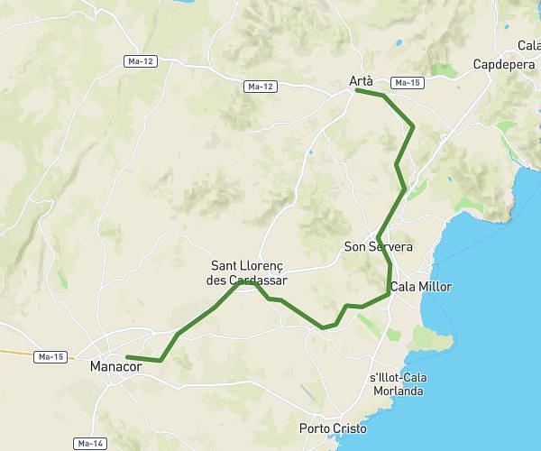
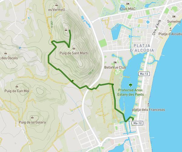
This running route covers 6.267mi starting from Maria de la Salut, Balearic Islands. The run is a loop trail and returns to the trailhead. This run is rated as moderate, expect about 1h7m to complete it. The route has an elevation gain of 374ft and an elevation loss of 358ft.
Maria
Route details
5.61mph
Speed
766 kcal
Calories burned
Loop trail
Route type
210ft
Min altitude
410ft
Max altitude
Route profile
374ft
Elevation gain
358ft
Elevation loss
210ft
Min altitude
410ft
Max altitude
How to get there
Trailhead: Carrer De S'arraval 151, 07519 Maria de la Salut, Balearic Islands, Spain
GPS coordinates of the trailhead: 39.660333, 3.073234 / 39°39'37'' N, 3°4'23'' E