MapPlanner
14.348mi
Distance
1h27m
Duration
9.89mph
Speed
+1421ft
Elevation gain
-1302ft
Elevation loss
Hard
Level

Keith 1

Route details

780 kcal
Calories burned
3.6%
Avg grade
Point to point
Route type
3ft
Min altitude
167ft
Max altitude

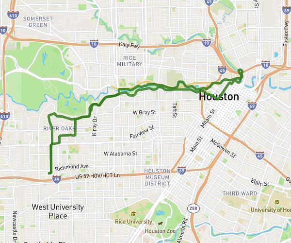
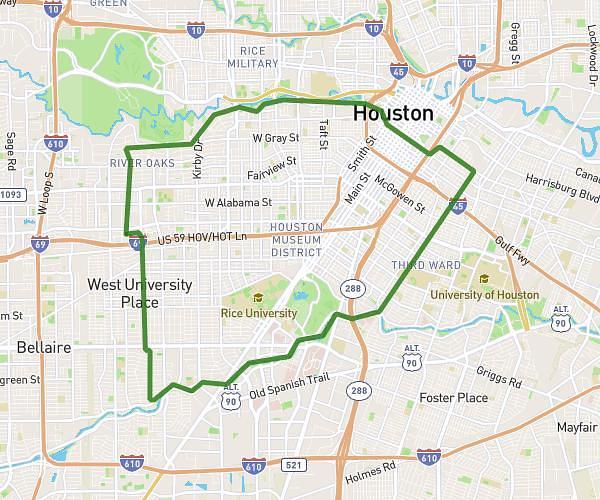
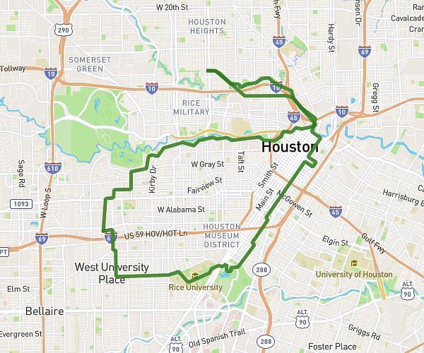
This cycling route covers 14.348mi starting from Houston, Texas. The ride does not return to the trailhead and ends near Greenway Plz, 77046 Houston. This route is rated as hard, plan for about 1h27m to complete it. The route has an elevation gain of 1421ft and an elevation loss of 1302ft.

Route profile

1421ft
Elevation gain
1302ft
Elevation loss
3ft
Min altitude
167ft
Max altitude

How to get there

Trailhead: Allen Parkway, 77029 Houston

GPS coordinates of the trailhead: 29.76028, -95.37573 / 29°45'37'' N, 95°22'32'' W

Caution: May Cross Private Property

This route may pass through or near private property. Always respect posted signs, obtain permission where required, and follow local trespassing laws. MapPlanner does not guarantee public access along any route.

Safety Notice

Trail and road conditions may change without notice due to weather, construction, or other factors. Always verify current conditions before heading out. You are responsible for your own safety — follow local signage, obey traffic laws, and use your best judgment on the trail.