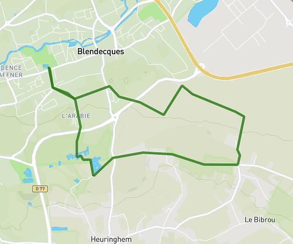
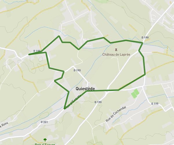
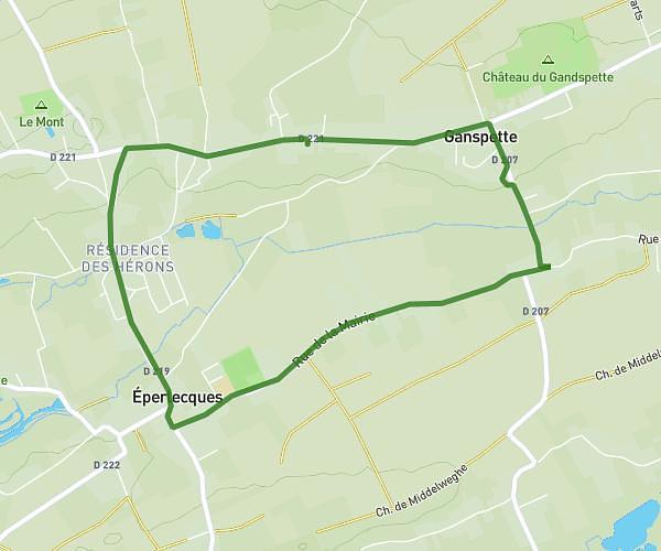
This hiking trail covers 6.555mi starting from Setques, Pas-de-Calais. The hike is a loop trail and returns to the trailhead. This hike is rated as moderate, plan for about 2h8m to complete it. The route has an elevation gain of 568ft and an elevation loss of 568ft.
10km setques
Route details
3.08mph
Speed
920 kcal
Calories burned
3.3%
Avg grade
Loop trail
Route type
112ft
Min altitude
459ft
Max altitude
Route profile
568ft
Elevation gain
568ft
Elevation loss
112ft
Min altitude
459ft
Max altitude
How to get there
Trailhead: 12 Rue D'en-Bas, 62380 Setques, France
GPS coordinates of the trailhead: 50.71153, 2.16062 / 50°42'41'' N, 2°9'38'' E