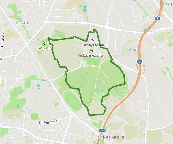
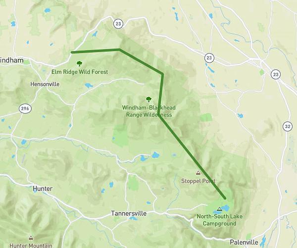
This hiking trail covers 7.224mi starting from . The hike is a loop trail and returns to the trailhead. This hike is rated as easy, plan for about 2h7m to complete it. The route has an elevation gain of 322ft and an elevation loss of 322ft.
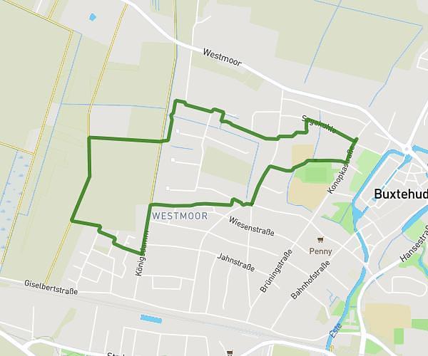
Klövensteen training
Route details
3.41mph
Speed
901 kcal
Calories burned
1.7%
Avg grade
Loop trail
Route type
36ft
Min altitude
105ft
Max altitude
Route profile
322ft
Elevation gain
322ft
Elevation loss
36ft
Min altitude
105ft
Max altitude
How to get there
Trailhead:
GPS coordinates of the trailhead: 53.58435, 9.81799 / 53°35'3'' N, 9°49'4'' E