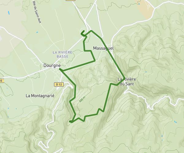
This hiking trail covers 11.093mi starting from Lacrouzette, Tarn. The hike is a loop trail and returns to the trailhead. This hike is rated as hard, plan for about 5m to complete it. The route has an elevation gain of 1385ft and an elevation loss of 1411ft.
Balade
Route details
133.11mph
Speed
36 kcal
Calories burned
4.8%
Avg grade
Loop trail
Route type
1578ft
Min altitude
2218ft
Max altitude
Route profile
1385ft
Elevation gain
1411ft
Elevation loss
1578ft
Min altitude
2218ft
Max altitude
How to get there
Trailhead: 9 Chemin De La Rocque, 81210 Lacrouzette, France
GPS coordinates of the trailhead: 43.66644, 2.34673 / 43°39'59'' N, 2°20'48'' E