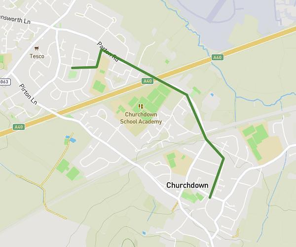
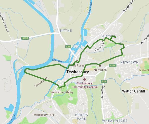
This walking route covers 3.598mi starting from Gloucester, England. The walk is a loop trail and returns to the trailhead. This walk is rated as moderate, plan for about 2h to complete it. The route has an elevation gain of 161ft and an elevation loss of 161ft.
5 mile walk
Route details
33:18/mi
Pace
490 kcal
Calories burned
Loop trail
Route type
75ft
Min altitude
135ft
Max altitude
Route profile
161ft
Elevation gain
161ft
Elevation loss
75ft
Min altitude
135ft
Max altitude
How to get there
Trailhead: 29 Hadrians Way, Gloucester, GL4 5DD, United Kingdom
GPS coordinates of the trailhead: 51.85161, -2.19643 / 51°51'5'' N, 2°11'47'' W