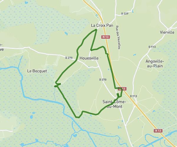
This running route covers 6.624mi starting from Saint-Sauveur-Villages, Manche. The run is a loop trail and returns to the trailhead. This run is rated as moderate, expect about 45m to complete it. The route has an elevation gain of 115ft and an elevation loss of 115ft.
Départ parents
Route details
8.83mph
Speed
515 kcal
Calories burned
Loop trail
Route type
82ft
Min altitude
121ft
Max altitude
Route profile
115ft
Elevation gain
115ft
Elevation loss
82ft
Min altitude
121ft
Max altitude
How to get there
Trailhead: Rue Chevallier, 50490 Saint-Sauveur-Villages
GPS coordinates of the trailhead: 49.164, -1.42123 / 49°9'50'' N, 1°25'16'' W