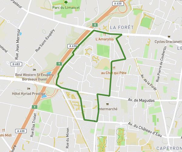
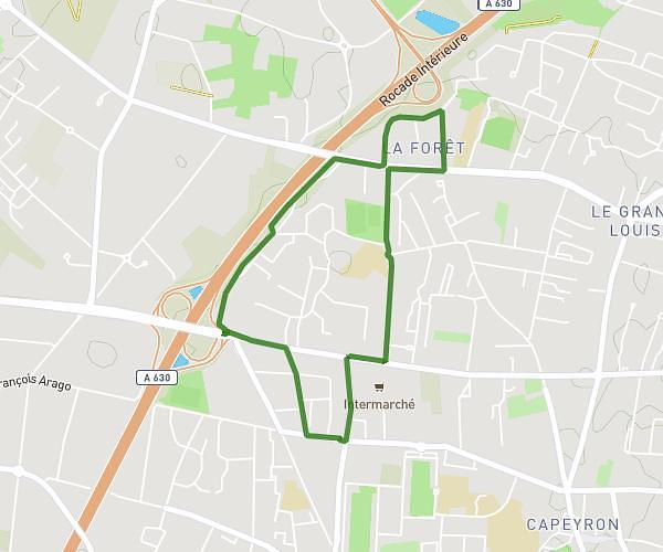
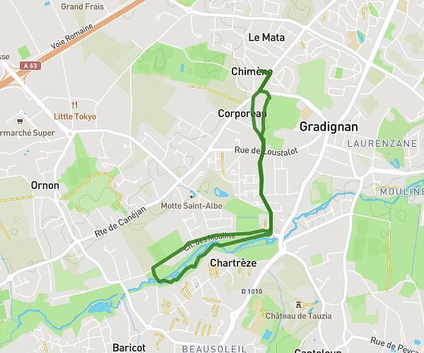
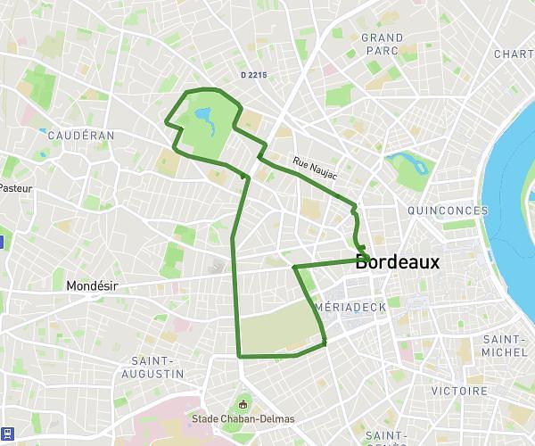
This running route covers 11.008mi starting from Saint-Médard-en-Jalles, Gironde. The run is a loop trail and returns to the trailhead. This run is rated as hard, expect about 1h58m to complete it. The route has an elevation gain of 551ft and an elevation loss of 551ft.
17km
Route details
5.59mph
Speed
1350 kcal
Calories burned
Loop trail
Route type
33ft
Min altitude
144ft
Max altitude
Route profile
551ft
Elevation gain
551ft
Elevation loss
33ft
Min altitude
144ft
Max altitude
How to get there
Trailhead: 64 Rue Arthur Rimbaud, 33160 Saint-Médard-en-Jalles, France
GPS coordinates of the trailhead: 44.891902, -0.734052 / 44°53'30'' N, 0°44'2'' W