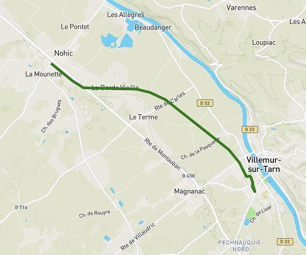
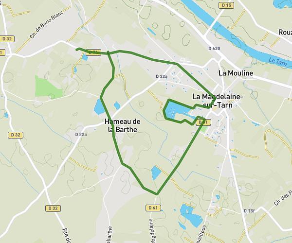
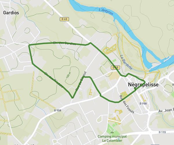
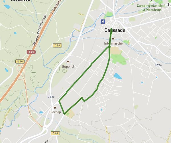
This walking route covers 2.139mi starting from Montauban, Tarn-et-Garonne. The walk is a loop trail and returns to the trailhead. This walk is rated as easy, plan for about 46m to complete it. The route has an elevation gain of 194ft and an elevation loss of 194ft.
Autour d'Unal
Route details
21:30/mi
Pace
188 kcal
Calories burned
Loop trail
Route type
299ft
Min altitude
476ft
Max altitude
Route profile
194ft
Elevation gain
194ft
Elevation loss
299ft
Min altitude
476ft
Max altitude
How to get there
Trailhead: Cité De L'agriculture, 82000 Montauban, France
GPS coordinates of the trailhead: 44.00683, 1.3754 / 44°0'24'' N, 1°22'31'' E