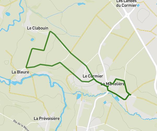
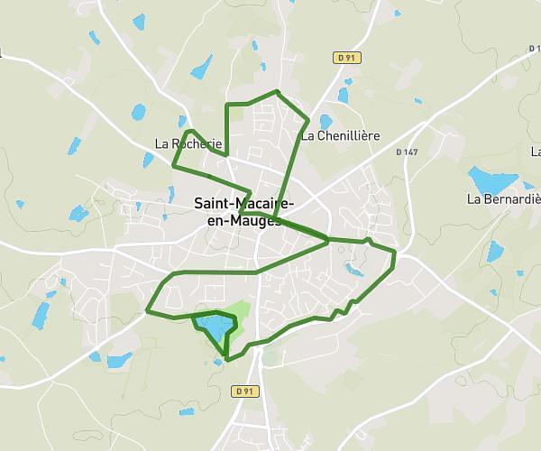
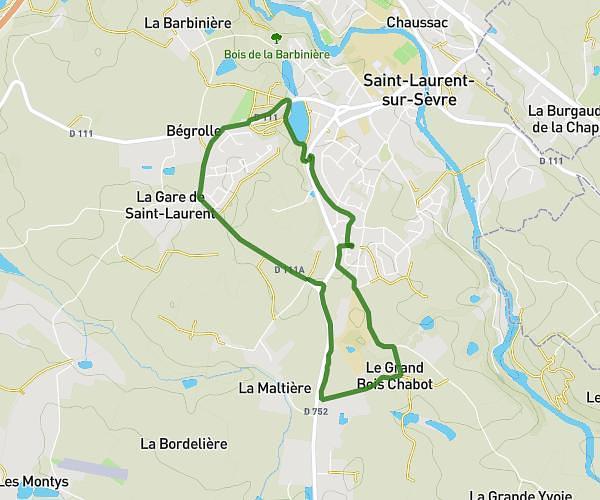
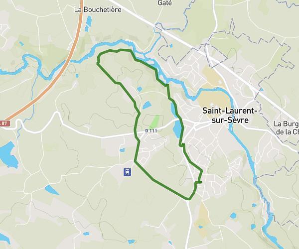
This running route covers 6.336mi starting from Les Epesses, Vendée. The run does not return to the trailhead and ends near La Colporteuse, 85590 Les Epesses, France. This run is rated as moderate, expect about 1h19m to complete it. The route has an elevation gain of 486ft and an elevation loss of 433ft.
10KM Foulée des géant 2025
Route details
4.81mph
Speed
904 kcal
Calories burned
Point to point
Route type
705ft
Min altitude
791ft
Max altitude
Route profile
486ft
Elevation gain
433ft
Elevation loss
705ft
Min altitude
791ft
Max altitude
How to get there
Trailhead: 1 C 10, 85590 Les Epesses, France
GPS coordinates of the trailhead: 46.89453, -0.93059 / 46°53'40'' N, 0°55'50'' W