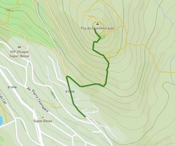
This running route covers 3.373mi starting from Besse-et-Saint-Anastaise, Puy-de-Dôme. The run does not return to the trailhead and ends near 28 Route Des Grottes, 63610 Saint-Pierre-Colamine, France. This run is rated as easy, expect about 38m to complete it. The route has an elevation gain of 105ft and an elevation loss of 909ft.
Besse - st pierre
Route details
5.33mph
Speed
434 kcal
Calories burned
Point to point
Route type
2556ft
Min altitude
3360ft
Max altitude
Route profile
105ft
Elevation gain
909ft
Elevation loss
2556ft
Min altitude
3360ft
Max altitude
How to get there
Trailhead: 4 Rue Des Bruyères, 63610 Besse-et-Saint-Anastaise, France
GPS coordinates of the trailhead: 45.5103, 2.93828 / 45°30'37'' N, 2°56'17'' E