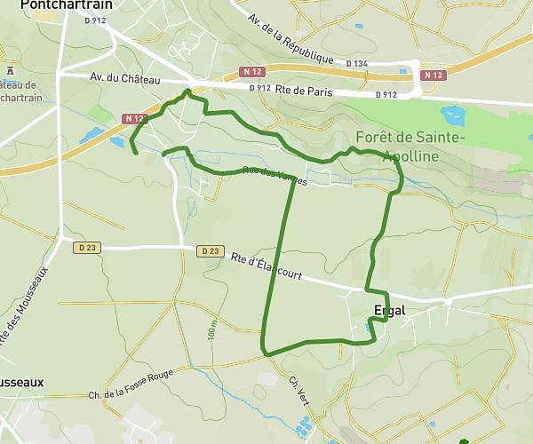
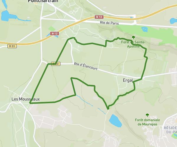
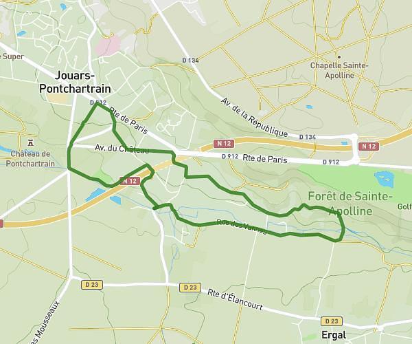
This walking route covers 1.345mi starting from Marly-le-Roi, Yvelines. The walk is a loop trail and returns to the trailhead. This walk is rated as easy, plan for about 45m to complete it. The route has an elevation gain of 167ft and an elevation loss of 171ft.
Parc royal Marly le roi
Route details
33:25/mi
Pace
184 kcal
Calories burned
Loop trail
Route type
348ft
Min altitude
456ft
Max altitude
Route profile
167ft
Elevation gain
171ft
Elevation loss
348ft
Min altitude
456ft
Max altitude
How to get there
Trailhead: 5 Avenue Des Combattants, 78160 Marly-le-Roi, France
GPS coordinates of the trailhead: 48.86537, 2.09736 / 48°51'55'' N, 2°5'50'' E